


Although hurricane season runs from June through November, August through October have traditionally seen peak hurricane activity. So now is the time to get prepared at home and at your place of business.
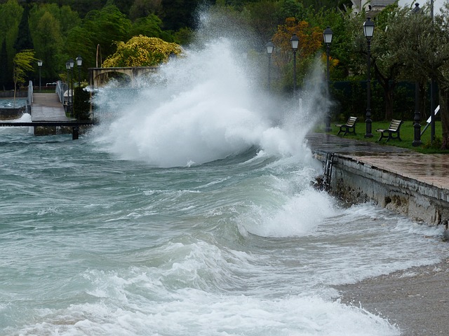
Strong winds, storm surge flooding, inland flooding, heavy rainfall, tornadoes, uprooted trees, downed power lines and power outages are just a few of a hurricane’s damaging effects. Hurricanes can damage and destroy buildings, homes, and virtually anything in its path is fair game for destruction.
Today we’ll take a look at some terminology listed by the National Hurricane Center that is frequently used by meteorologists to describe hurricanes. Then we’ll gain a clear understanding of what the different hurricane categories represent.
Hurricane Terminology
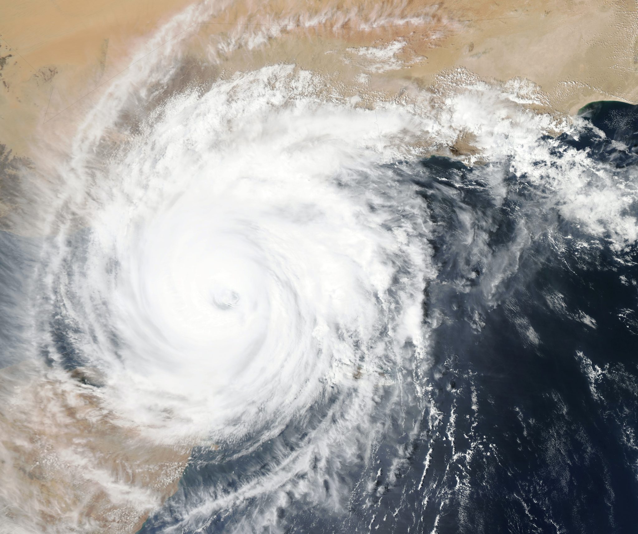
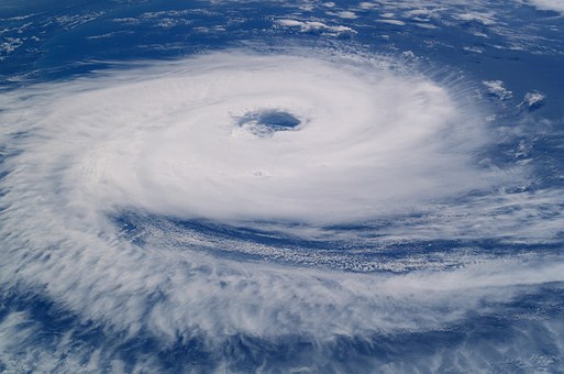
Cyclone: An atmospheric closed circulation rotating counter-clockwise in the Northern Hemisphere and clockwise in the Southern Hemisphere.
Eye: The roughly circular area of comparatively light winds that encompasses the center of a severe tropical cyclone. The eye is either completely or partially surrounded by the eyewall cloud.
Eyewall / Wall Cloud: An organized band or ring of cumulonimbus clouds that surround the eye, or light-wind center of a tropical cyclone. Eyewall and wall cloud are used synonymously.
 Hurricane / Typhoon: A tropical cyclone in which the maximum sustained surface wind (using the U.S. 1-minute average) is 64 kt (74 mph or 119 km/hr) or more. The term hurricane is used for Northern Hemisphere tropical cyclones east of the International Dateline to the Greenwich Meridian. The term typhoon is used for Pacific tropical cyclones north of the Equator west of the International Dateline.
Hurricane Warning: An announcement that sustained winds of 64 knots (74 mph or 119 km/hr) or higher are expected somewhere within the specified area in association with a tropical, subtropical or post-tropical cyclone. Because a hurricane preparedness activities become difficult once winds reach tropical storm force, the warning is issued 36 hours in advance of the anticipated onset of tropical-storm-force winds. The warning can remain in effect when dangerously high water or a combination of dangerously high water and waves continue, even though winds may be less than hurricane force.
Hurricane Watch: An announcement that sustained winds of 64 knots (74 mph or 119 km/hr) or higher are possible within the specified area in association with a tropical, subtropical or post-tropical cyclone. Because hurricane preparedness activities become difficult once winds reach tropical storm force, the hurricane watch is issued 48 hours in advance of the anticipated onset of tropical storm force winds.
Storm Surge: An abnormal rise in sea level accompanying a hurricane or other intense storm, and whose height is the difference between the observed level of the sea surface and the level that would have occurred in the absence of the cyclone. Storm surge is usually estimated by subtracting the normal or astronomic high tide from the observed storm tide.
 Storm Surge Warning: The danger of life-threatening inundation from rising water moving inland from the shoreline somewhere within the specified area, generally within 36 hours, in association with an ongoing or potential tropical cyclones, a subtropical cyclone or a post-tropical cyclone. The warning may be issued earlier when other conditions, such as the onset of tropical-storm-force winds are expected to limit the time available to take protective actions for surge (e.g., evacuations). The warning may also be issued for locations not expected to receive life-threatening inundation but which could potentially be isolated by inundation in adjacent areas.
Storm Surge Watch: The possibility of life-threatening inundation from rising water moving inland from the shoreline somewhere within the specified area, generally within 48 hours, in association with an ongoing or potential tropical cyclones, a subtropical cyclone, or a post-tropical cyclone. The watch may be issued earlier when other conditions, such as the onset of tropical-storm-force winds are expected to limit the time available to take protective actions for surge (e.g., evacuations). The warning may also be used for locations not expected to receive life-threatening inundation but which could potentially be isolated by inundation in adjacent areas.
Storm Tide: The actual level of sea water resulting from the astronomic tide combined with the storm surge.
The complete list of hurriane terminology from the National Hurricane Center website can be found here.
What Do Different Hurricane Categories Represent?
Hurricanes are categorized using the Saffir-Simpson Hurricane Wind Scale. Each hurricane is categorized from 1 to 5 based on the storm’s intensity at the time. The different categories are representative of damage associated with winds of the indicated intensity.
Category Wind Speed (mph) Damage
Category 1 74-95 Very dangerous winds will produce some damage
Category 2 96-110 Extremely dangerous winds will cause extensive damage
Category 3 111-129 Devastating damage will occur
Category 4 130-156 Catastrophic damage will occur
Category 5 > 156 Catastrophic damage will occur
For more specifics about the catagories and more information on the Saffir-Simpson Hurricane Wind Scale go here.
—
Next week in Part 2, we’ll discuss what you can do prior, during and after a hurricane to help ensure your safety and the safety of others.
Photo top left: Courtesy of NASA and UnSplash – Photo 1
All other photos: Courtesy of Pixaby